Ongoing Texas Border Wall Development Keeps Landowners in Limbo
Map courtesy of U.S. Customs and Border Protection
Earlier this year, U.S. Customs and Border Protection (CBP) updated its interactive border wall map to indicate roughly 100 miles of permanent border wall running through Big Bend National Park. The change drew swift concern from local residents and conservation groups who warned that large sections of the wall could disrupt one of the most remote and ecologically sensitive areas along the U.S.-Mexico border.
Located along the Rio Grande, Big Bend National Park is a rugged desert and mountain landscape that attracts more than half a million visitors each year. The park is known for its dramatic canyons, sweeping desert vistas and iconic sites such as Boquillas Hot Springs and Santa Elena Canyon.
Some residents along the river corridor have already received right-of-entry letters. Once signed, this document allows contractors to access land for environmental studies and engineering surveys. The notices sparked concern among landowners who feared the federal government could eventually seize private property through eminent domain and condemnation to build new segments of the wall.
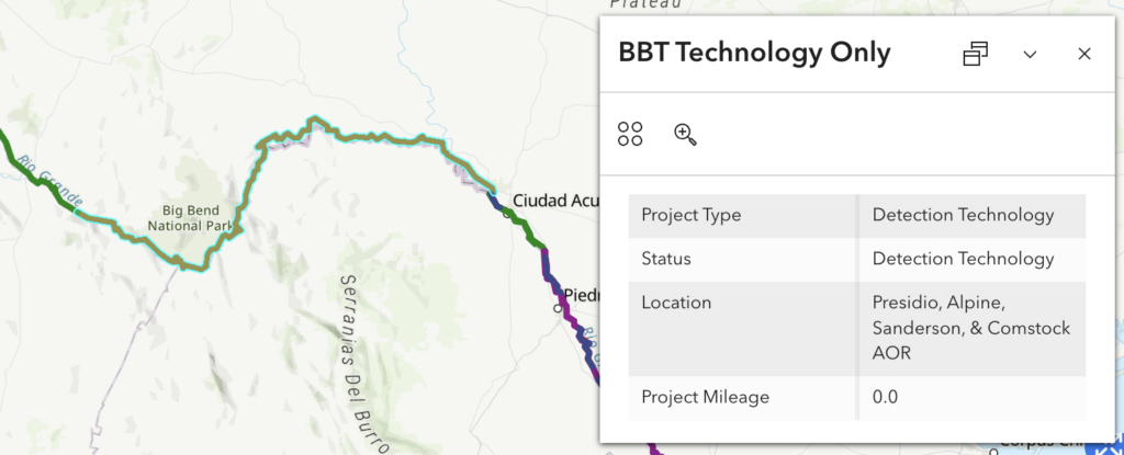
Following the backlash, CBP revised the border map indicating that areas inside the national park would rely on “detection technology” rather than physical wall structures. According to CBP, this change is due to the region’s “unfavorable terrain or remoteness of location,” which pose engineering and logistical challenges for large-scale infrastructure projects.
Some Landowners Near Border Wall Should Still Expect Impacts
However, those who live along the Rio Grande are still receiving notices about surveys and land acquisition as the federal government continues other wall segments along the border. $3 billion has already been awarded toward construction, so, according to the Department of Homeland Security (DHS), they are legally and contractually obligated to proceed.
While CBP’s map update scaled back physical wall construction inside Big Bend National Park, plans for additional barriers remain intact. A primary border wall system is still proposed in parts of and west of Big Bend Ranch State Park near the town of Presidio. This section of wall would span 175 miles, potentially affecting property owners across Presidio, Jeff Davis and Hudspeth counties.
In CBP’s letters to landowners, they are being given three options:
- Enter a right-of-entry construction agreement (ROE-C) – This option allows the federal government access to their property to complete surveys and appraisals with a separate negotiation later on to sell land at “fair market value” for border wall construction. This is CBP’s preferred method, but it isn’t necessarily in the landowner’s best interest.
- Sell an easement to the government outright – This option allows the government full access to the property owner’s land to survey and build as desired while retaining ownership. The overall usage of the land is restricted, property values may go down over time and the threat of future condemnation still exists.
- Wait for CBP to initiate condemnation – The government will begin a legal proceeding in an attempt to exercise its right to eminent domain (taking private property for public use). Landowners also have the legal right to an attorney to present a claim or defense.
If you have questions about how the revived federal border wall project could impact access to your land, contact Barron, Adler, Clough & Oddo for a consultation. We’ll walk you through your options and help you determine the best course of action.
Resources:
-
- KXAN: Big Bend locals worry new border wall will hurt tourism, environment
- Houston Chronicle: Trump administration signals change in course on Big Bend border wall
- Houston Chronicle: CBP to build 100+ miles of border wall through Big Bend region of West Texas by 2028
- The Center Square: Under Noem, DHS would use eminent domain to take Texans’ land